Monday, 3 October 2016

The effects of river patterns on riparian vegetation: A comparison of anabranching and single-thread incised channels

On September 2016, study about channel changes of the Morávka River and their effect on riparian vegetation was published.
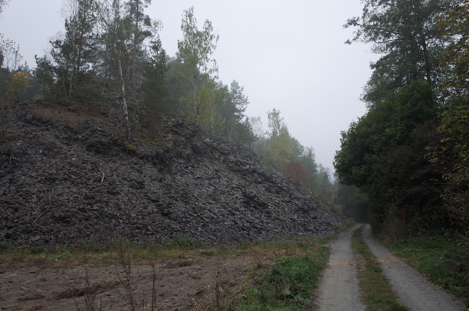
Riparian vegetation reflects the current conditions and the dynamics of streams. The floodplain vegetation along the watercourse of the Morávka River was subject to study in this project. In some reaches, the river has the natural character of an anabranching gravel-bed stream; in contrast, other Morávka R. reaches are incised into the bedrock. These cases were used to assess potential changes in vegetation conditions as evidence of negative processes taking place in the gravel-bed streams of the Beskydy Mts. The results demonstrate a higher biodiversity in the floodplain along the anabranching river channel. In contrast, the floodplain along the incised river channel shows low biodiversity values. Redundancy analysis was used to determine the relationships between plant species composition, distance from the main channel and relative elevation from the mean water level of the main channel. In addition, the results show a higher degree of change in plant species composition on the floodplain along the incised river channel. The analysis of floodplain groundwater fluctuations shows a decreasing trend in the annual maximum groundwater level.
The paper has been recently published in Moravian Geographical Reports journal.


The Morávka R.: A – single-thread bedrock-incised channel river; B – anabranching channel river reach
Photo: V. Škarpich.
 
A – Shannon-Wiener index and B – Simpson's index of phytosociological relevés in the study area of the Morávka River floodplain. Source: authors’ elaboration.

Thursday, 29 September 2016

Geomorphic impact of historical slate mining activity on gravel-bed streams

Our present research concerned on the geomorphic effect of historical mining of slate slabs on small stream channels. The mining activity in the Nízký Jeseník Mts (Eastern Sudetes) took place mainly in 19th century and almost all mines and quarries were closed until 1950s. Unusable rocks were usually deposited on dumps in front of the mine entrances and quarries. Dumps located on the hillslopes adjacent to the channels and former floodplains were studied as important inputs of coarse material for local streams and the alterations in bed grain-sizes and channel morphologies were evaluated.  The sediment supply from investigated dumps in low-order (I-III.) channels often transformed channel-reach morphologies (pool-riffles to plane beds), significantly altered adjacent and downstream caliber of bed sediments, and decreased the bankfull width near the points of active sediment inputs. This supply of larger grains into channels also increased potential stability of channel beds. By increased transport capacity of a stream, the significance of slate dumps as sediment inputs for evaluated supply limited or transport-balanced streams decreased as expressed obtained results for larger IV-order gravel-bed stream.
The paper has been recently published in Zeitschrift für Geomorphologie

Large slate dump in Deštná
Slate dump coupled with the channel - the case of the Lobník Stream.

Increased bed grain-sizes near the positions of active sediment inputs. Supplied slate slabs
significantly exceed  stream transport capacity calculated for bankfull flows.

Sunday, 4 September 2016

Inventory of large wood in the Odra River

The upper Odra River upstream Ostrava City represents unique geomorphic meandering pattern on the boundary between the Western Carpathians and Bohemian Massif. During the first week of September, the inventory of instream wood in the protected area of the Odra River took place, where the removal of large wood due to flood risk is prohibited since 2015. In total, 146 individual pieces of large wood were measured and positions of additional large wood jams (several including up to 20 logs) were mapped in ca. 4 km long reach. In addition, 32 large wood pieces were tagged in order to observe their future movement during high water stages. We assume extensive lateral supply of instream wood particularly in active meanders, which was also documented during field mapping.   


Wednesday, 10 August 2016

Field measurements with Polish colleagues in the Morávka River

The research of the Morávka Canyon continued during the first week of August, when colleagues from the Cracow Agricultural University, namely Prof. Radecki-Pawlik and Dr. Plesinski visited this locality. We focused on detailed hydraulic measurements and geodetic survey of channel-reaches containing large artificial boulders (mainly from destroyed rip-rap structures). This could help us to answer the question, whether these boulders prevent from further erosion or potentially accelerate erosion processes via concentration of water flows. Additional measurements of present bed sediments and old gravels hanging on canyon walls provided information about changes in the river transport capacity. 
Detailed hydraulic measurements and geodetic survey of water surface and river bed

Pre-incision gravels of the Morávka Canyon

Thursday, 23 June 2016

Workshop “Methods of detailed analysis in fluvial geomorphology” was realized


21st – 22nd of June, 2016

Lecturers:
Dr. Václav Škarpich (member of Czech-Rivers group of the fluvial section of the Department of Physical Geography and Geoecology, University of Ostrava)
Dr. Jan Blöthe (University of Bonn)
Dr. Veronika Kapustová (University of Ostrava)

Many aspects of fluvial processes and morphology may be measured to help to assess conditions of rivers. Modern research methods in fluvial geomorphology provide an integrated approach to the guidance for researchers to answer questions on river behaviour. The workshop “Methods of detailed analysis in fluvial geomorphology” was addressed to those students and young researchers who are dealing with river systems and hydrology. General aim of the workshop was a demonstration of modern methods and their application in fluvial-geomorphic research. The workshop was focused on practical presentation of basic methods for data collection in the field and subsequent analysis of obtained data, e.g., using BAGS (Bedload Assessment for Gravel-Bed Streams) software or Sedimetrics Digital Gravelometer. We showed how to obtain high-resolution remote sensing data using UAV technology and how to digitally reconstruct terrain and objects using Structure from Motion technique. One of the lecturers was Dr. Jan Blöthe from the University of Bonn, staying at our Department via Erasmus+ teaching mobility.

Photo of the Bečva R. channel obtained by UAV technology

Photo of the Bečva R. channel obtained by UAV technology

Dr. Jan Blöthe and students are operating UAV technology

Measuring of flow velocities by students

Tuesday, 21 June 2016

River wood in Beskydian headwaters

The first results from the research of river wood in Mazácky Gruník natural monument (protected since 1950s) were presented at EGU conference in Vienna (April 2016) - see the poster below. Field works including dating of key logs in three headwater channels have been finished in the middle of June. Preliminary results show, that observed volumes of river wood are probably not at the 'natural' level before first human interventions (including forest management with removal of logs from channels) and some longer recovery time for development of log jams is needed. However, the research in this topic will continue in the month of July, when there is planned measurement and tagging of large wood in two meandering channel-reaches of the Odra River. 
Poster from EGU 2016 conference.

Saturday, 18 June 2016

Short report from a field trip to Swiss torrents

Colleagues K. Šilhán and R. Tichavský from dendroman.cz and T. Galia participated the field trip to typical check-dam managed stream and the experimental watershed of the Erlenbach Stream, both located in the pre-alpine area of Switzerland. Flood events during past decades in the Gürbe Torrent (Bern canton) caused some serious damages in the forefield villages due to massive bedload transport and deposition of coarse material. A reconstruction of grade-control structures (mainly classic check-dams) took place in 2007-2009, when the first control structures were implemented in the middle of 19th century.

Check-dams in the Gürbe Torrent

Measurements of bedload transport in the Erlenbach Stream has been performed for 30 years. Flow discharge is measured and sediment is collected in a retention basin (capacity ca. 2000 m3). Sediment transport has been also continuously monitored with piezoelectric bedload impact and geophone sensors since 1986 and by an automatic system with special baskets to obtain bedload samples. In this watershed, other experiments as evaulation of water chemistry or slope-channel coupling processes take place. The rest of stay in Switzerland was dedicated to meeting with colleagues from dendrolab.ch also including discussions about river wood research in study sites in the Czech Republic (the Mazák Stream, the Odra River).
Bedload transport measurements in the Erlenbach Stream